IPAD
International
Production
Assessment
Division
Toggle navigation
Reports and Briefs
Commodity Intelligence Reports (CIR)
World Agricultural Production (WAP) Circulars
Geospatial Data
Crop Explorer
Commodity Explorer
Global Agricultural Monitoring (GLAM)
Global Reservoirs and Lakes Monitor (G-REALM)
Global Agricultural & Disaster Assesment System (GADAS)
Geotag Photo Gallery
Tropical Cyclone Monitor
WMO Station Explorer
Crop Calendars and Production Maps
Country Summary
Crop Calendars
Crop Production Maps
Monthly Crop Stage and Harvest Calendars
Monthly Production and Trade Maps
Other Global USDA Reports
World Agricultural Supply and Demand Estimates (WASDE)
USDA Weekly Weather and Crop Bulletin (NASS/WAOB)
PSD Online
FAS Attache GAIN Reports
PS&D Market and Trade Data
Help
About Us
FAS Home
/
IPAD Home
/
Photo Gallery
How does Photo Gallery work?
Thumbnails
Region: metu
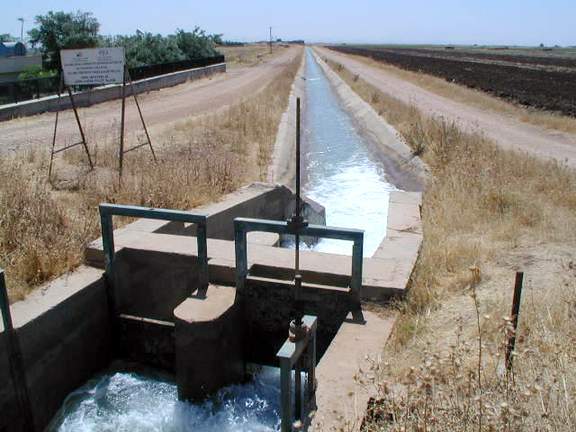
Harran Plain, Turkey
Photo by Curt Reynolds
Full image
view (220 KB)
Description:
Irrigation Canal on the Harran Plain inTurkey.
Metadata
Image Title
Irrigation Canal
File Name
harran_canal_tr
Date/Time
6/22/2001 12:00:00 AM
Crop/Other
Irrigation Canal
City/Province
Harran Plain
Country
Turkey
Latitude
37.10
Longitude
38.84
Elevation
Not Available
Top
Explore by:
Regions
Countries
Crops
This Photo Location
on ESRI Maps
(maximize this map
to fit your screen)
Top
Stay Connected
FAS on Twitter
Get Email Updates
FAS Home
USDA.gov
Economic Research Service
World Agricultural Outlook Board
Plain Writing
Trade Links
FOIA
Accessibility Statement
Privacy Policy
Non Discrimination Statement
Information Quality
USA.gov
White House